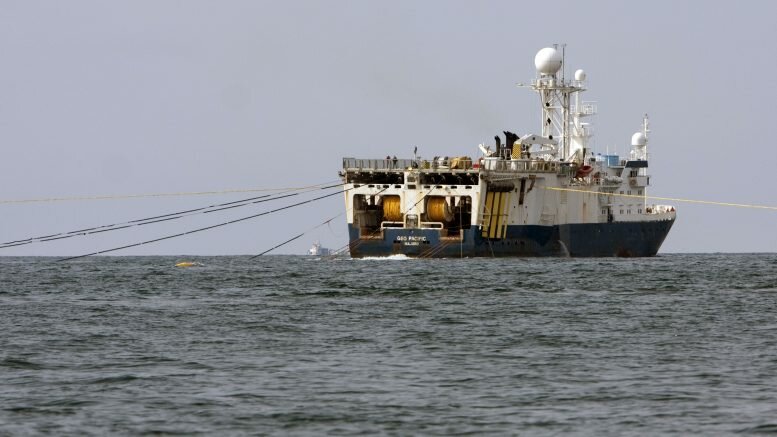
Norway and Russia have agreed a deal for the seismic mapping along the border in the Barents Sea area the countries agreed on in 2010.
Until now, the lack of such an agreement for seismic mapping in the border area made it impossible to map this part of the Barents Sea.
The boats must namely cross the boundary line with the equipment in order to map out the border areas.
– In practice, it is about a few kilometers into the neighboring country’s area, including the time it takes to turn the boat with measuring equipment that hangs behind it, says exploration director Sissel Eriksen of the Oil Directorate to NRK news.
The agreement is scheduled to be signed by Sergei Donskoy, who is the Russian Minister for Energy and Natural Resources, and Petroleum and Energy Minister Tord Lien at a visit to Oslo in late November.
The agreement is widely seen as very important for further cooperation between Norway and Russia on resources in the north.
The ceremony has however already been postponed once, allegedly because of formalities that must be clarified on the Russian side, according to NRK.
Source: NTB scanpix / Norway Today
————-