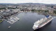
Cruise ship in three western fjords will in the coming months report on all their activities in order for emissions and environmental footprint of cruise tourism to be measured.
The three fjords to be mapped are the Nærøyfjord, the Geiranger Fjord and the Aurlandsfjord. This is the first time the environmental impact of the cruise industry is being mapped in this way, according to the New Norwegian press office.
– The basis of the survey is that cruise ships report information to us. We already know a lot about how the ships work, how much fuel they consume and how much they emit. But we do not know much about how they operate in the fjords, Head of the Department in NMD, Bjørn Pedersen, says .
Challenging sailing pattern
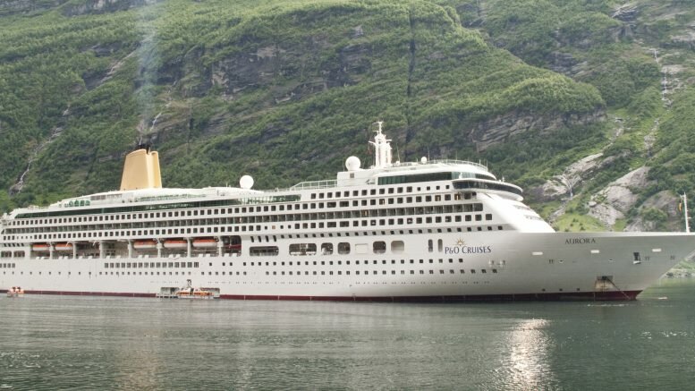
Last year Møre Research published an analysis of greenhouse emissions in the air in the Geiranger Fjord. This indicates that CO2 emissions from cruise ports of call may be at 13000-14000 tons a year. This corresponds to the total emissions from the fast ferry fleet in More og Romsdal and slightly less than the emissions from bus traffic.
The report shows that it is challenging to calculate emissions from cruise ships and Hurtigruten because they have a special sailing pattern with low velocity and where they are in port for long periods of time. The conclusion is that the the supporting machinery of the cruise ships is what accounts for the bulk of CO2 emissions.
– In our calculations, this source can account for to 84 per cent of CO2 emissions from transports in the Geiranger area, the report said.
Cruise ships which are at port can use 30 tons of fuel in a single day, and cause as much pollution as thousands of cars.
Source: NTB scanpix / Norway Today